Description
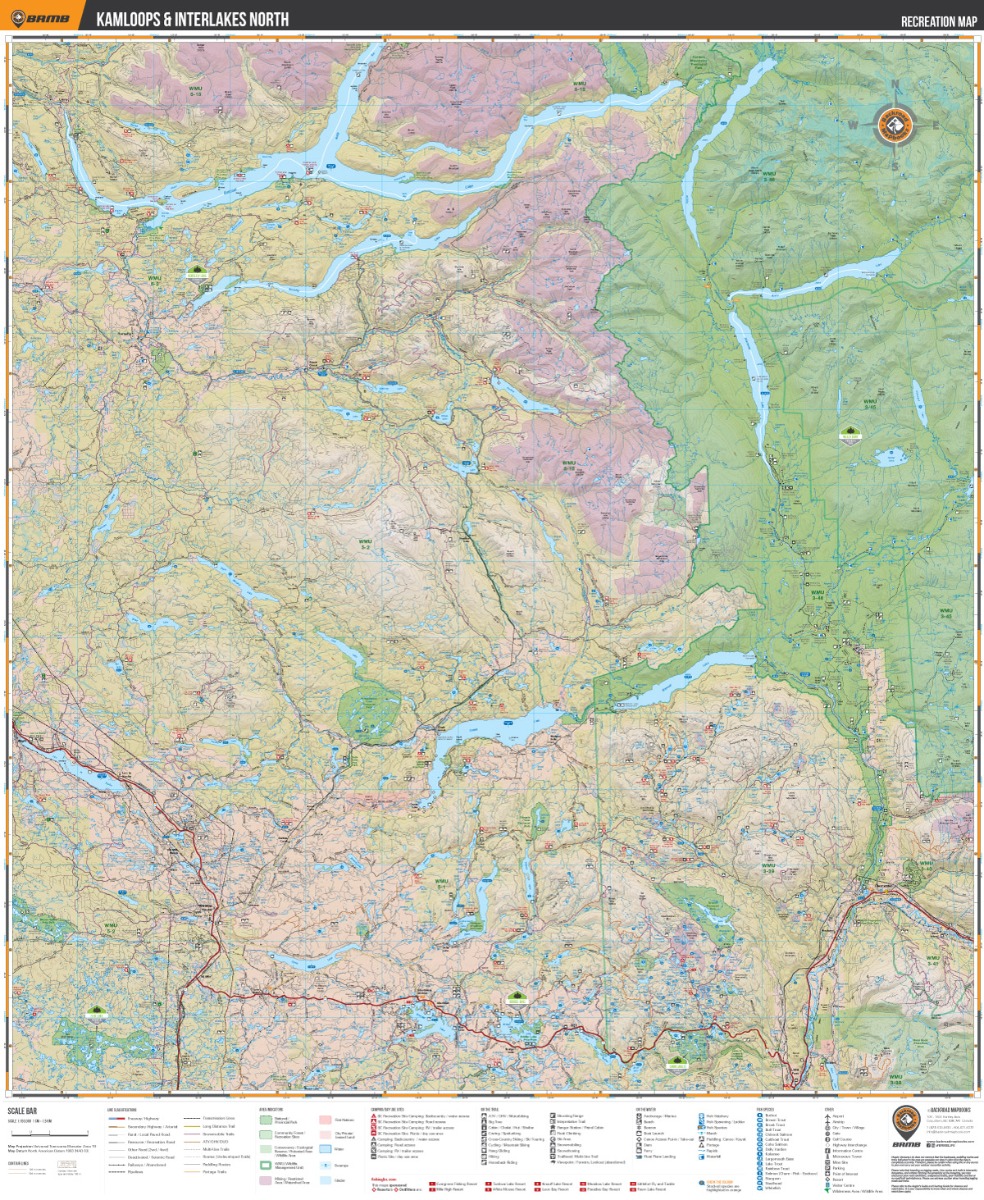
KAMLOOPS & INTERLAKES BC ADVENTURE MAPDeep in the heart of BC’s interior, the city of Kamloops and the surrounding Interlakes region abound with natural beauty and unlimited outdoor recreation opportunities. Located in the southeast region of the area covered by this map, Kamloops is surrounded by a large variety of grassland, desert, pine forests and rolling hills and offers outdoor adventures in every direction. To the north, the cities of 100 Mile House and Clearwater retain a proud gold rush heritage while the Interlakes Highway has rightfully proclaimed itself as the ‘Fishing Highway’ sporting some of the best lake fishing in the province. Further north, the pristine wilderness of Wells Gray Provincial Park draws visitors from all over the world to its sparkling lakes and towering waterfalls. Whether you are looking to hike, bike, camp, fish, paddle, swim, ski, snowshoe, hunt or ATV, this map gives you the most comprehensive coverage available anywhere for this exciting area..Print Features:Printed on durable waterproof and tear-resistant materialIncludes industry leading cartographic detail and state-of-the-art relief shadingCountless points of interest, hiking trails, campsites, beaches, paddling routes and more!Easy to read, large-scale 86 x 105.5 cm (34″ x 41.5″) map derived from our Backroad Mapbooks at 1:150,000 scaleDetailed index for recreation sites, trails and provincial parksSeamless map coverage requires no page turningNumerous updates and expansions from the previous edition

